


A Reporting Tool For Suspected Waterborne Illnesses & Infections

Seasick Aims
Seasick aims to collect information on where are people getting sick in Hawai'i. Our overarching goal is to develop a map from survey responses to identify hotspots where people are contracting waterborne illnesses and infections when they recreate in the ocean. In turn, this data will be shared with State officials to guide future epidemiological studies and stress the need for cesspool conversions to protect public health.

Contact us
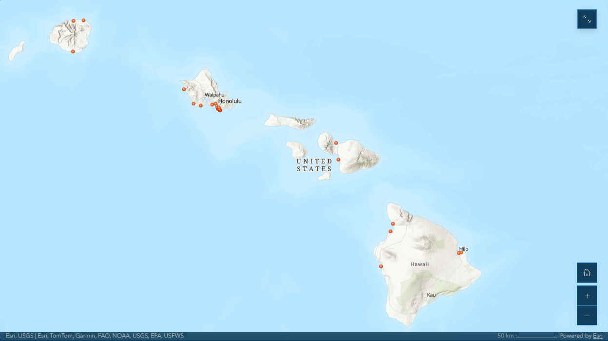
Seasick Map
Stay connected as we continue this important work. If you have questions, personal stories to share or want to get involved? Reach out anytime via email to seasick@waicleanwater.org.
WAI does not provide medical service or advice. If you or someone else is experiencing symptoms or health concerns, please seek care from a qualified medical professional.